<– Day 1 - Sun. Apr. 12th: On the Road Again, Finally | TRIP OVERVIEW | Day 3 - Tues. Apr. 14th: Winds and more Winds –>
Today's goal was to drive from Twin Falls to Salt Lake City, which normally takes about 3 hours. I've traveled this route so many times that I mark my progress by familiar cracks in the road. And, every time I pass by a sign that announces the exit for City of Rocks, I tell myself I'm going to take that some day. Well, that 'some' day was today.
Knowing that at least some of the roads would be unpaved (turns out most were), I calculated the drive would be much longer than three hours. In fact, the drive took 9 hours, some of which included map checks, photo ops, and very short walks. I don't advise doing this trip unless you have good maps. We lacked cell coverage for most of the day and there are very few helpful signs (not many roads either).
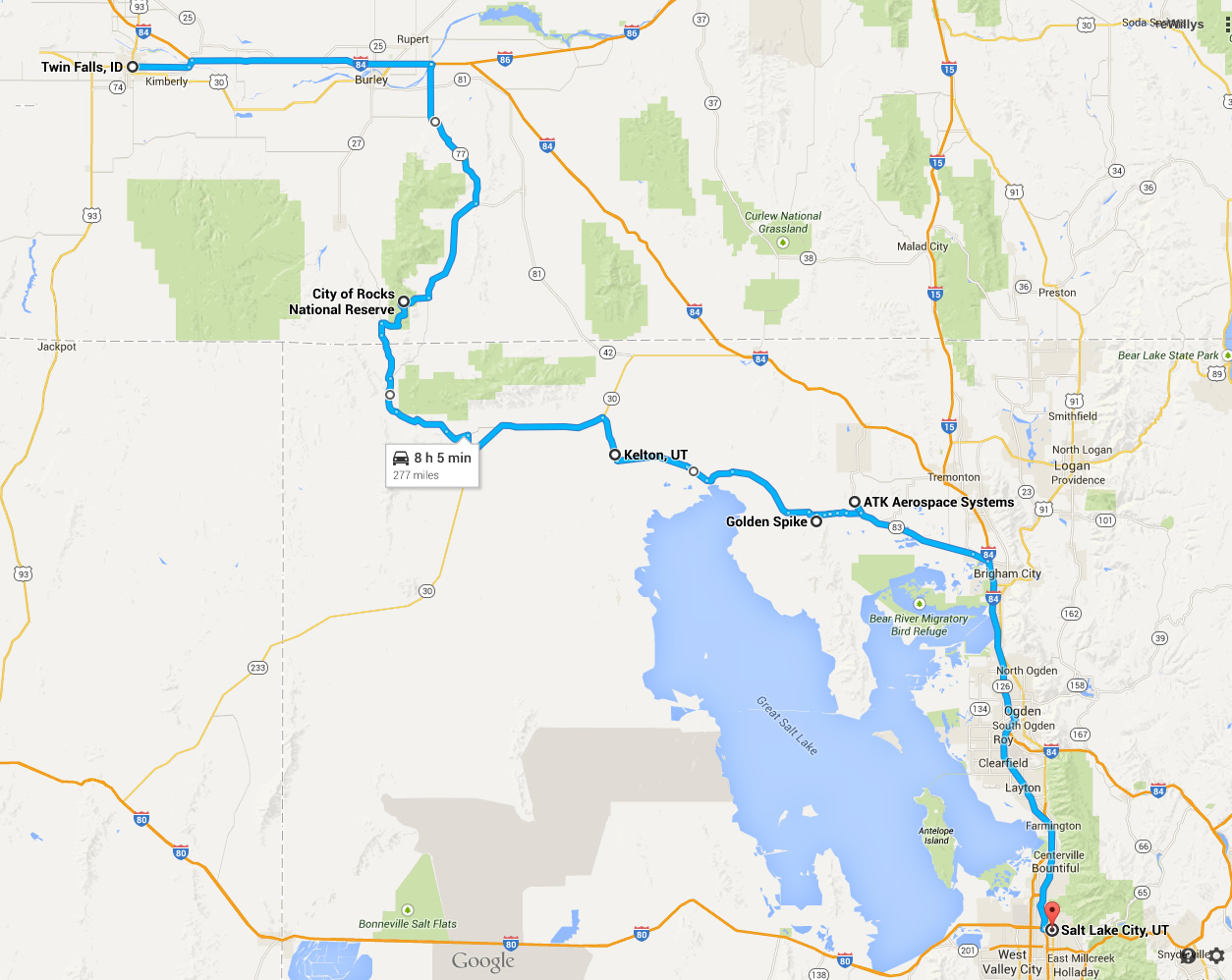
We took off about 8am from Twin Falls and drove east on I-84, before turning on State Highway 77. We quickly found ourselves following the old California Trail, a spur taken by wagon trains that left the Oregon Trail for California.
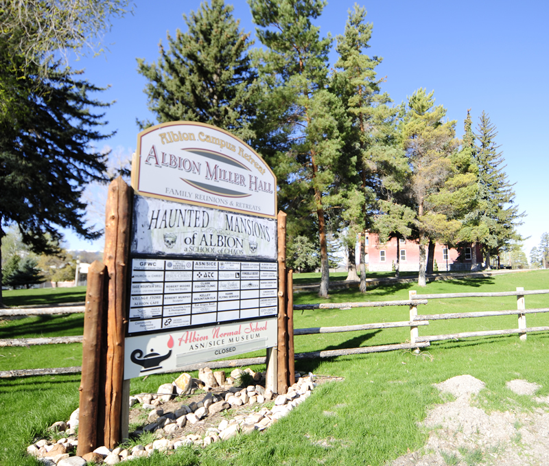
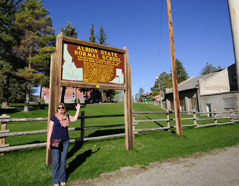
The first interesting town we encountered was Albion. Near the entrance to the town an old and abandoned Normal School loomed eerily by the road. We weren't a bit surprised the a nearby sign boasted how spooky the place was. However, if this is your thing, you should check out this website.
When we got to the City of Rocks area, we stopped by the visitor's center.
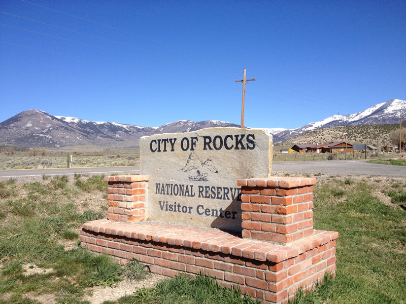
The ranger was friendly and helpful. She explained that travelers heading west on the California Trail found the City of Rocks a unique diversion from the long travels. Wagon trains would camp among the lower rocks. Several of the large rocks have carvings dating as far back as the 1840s.
As for rocks inside the visitors center, we didn't find many. However, we did find this unexpected gem:
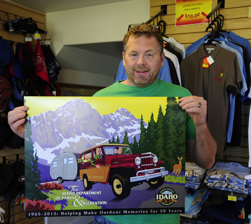
With poster and a few other goodies in hand, we left the paved-road world for gravel and dust.
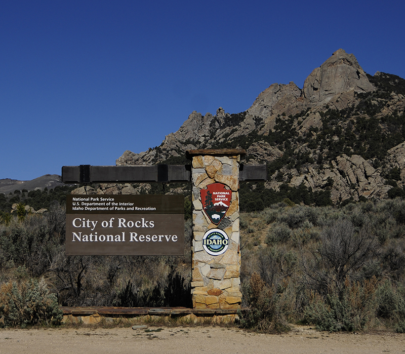
I did some research on the City of Rocks, but what I learned about the place based didn't inspire me too much, Yet, I still thought it might be a fun place, even just for camping with the kids (it's a nice middle location between us and my kids in Salt Lake). It turns out there are plenty of camping spots, mostly for tents. And, many of the spots are in beautiful locations. Here's one example:
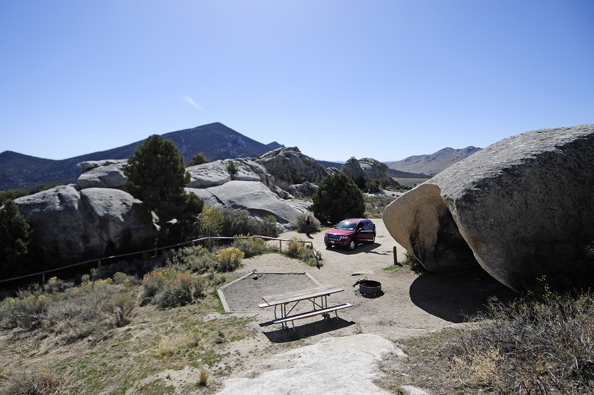
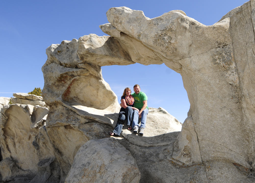
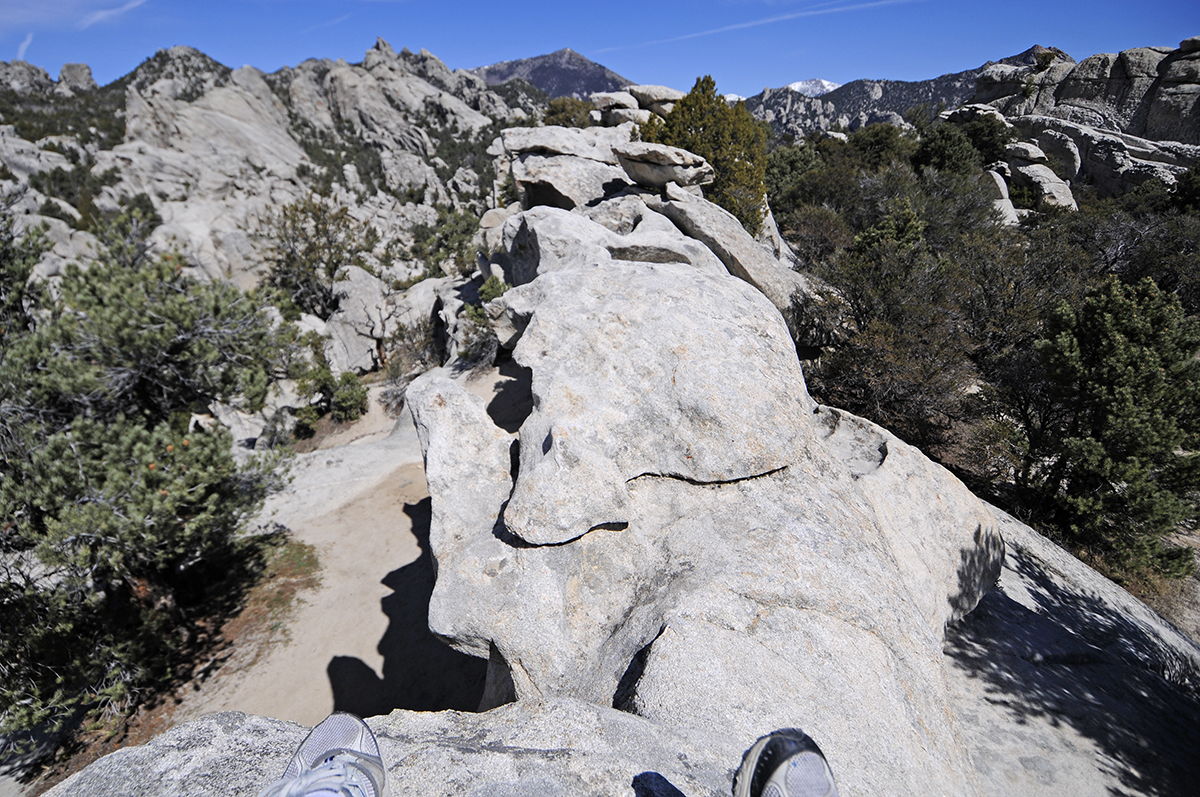
The drive into the densest-rock-portion of the City of Rocks takes you uphill and parallels a canyon of rock formations begging to be explored. It really looked like a fun place. At one point we hiked a few hundred feet and found this cool outcropping:
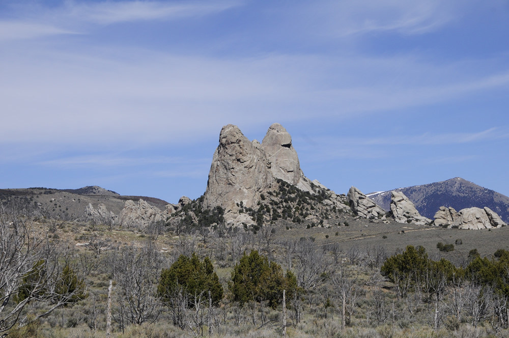
On our way out of the park we continued west on the California Trail until we passed the Twin Sisters. They don't look like twins when coming from the East, but when you look back at them their similarities are obvious.
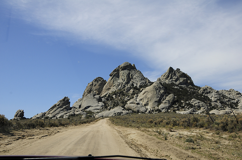
After leaving the City of Rocks, we drove south on Junction Valley Road toward Lynn. The unmarked dirt road looked recently widened and graded. It was much better than I expected.
We'd drove 10 miles south, crossed the Utah border, and then went another 10 miles or so when we ran into this sign.
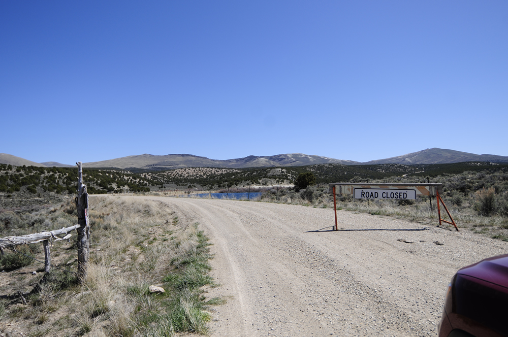
Now, usually I tend to follow the signs. But, to me the sign didn't seem legit. Besides, some vehicle had left fresh tracks, so there had been traffic of some kind. With no option other than to turn back and drive a couple hours out of our way, we decided to go forward. We could always turn around and go back.
It was a good thing we ignored the sign, because the road was just fine. Moreover, we only passed one vehicle and one ATV rider for the next 20 miles. So, why the sign was placed there was never clear to either of us. We eventually left the dirt roads behind, landing on Highway 30 running east.
The reason taking the closed road was important was because we'd planned to drop down onto the the old transcontinental railroad grade (originally finished in 1869) and drive that over to Golden Spike National Historic Site. Once again, if you don't have some good maps, I wouldn't recommend trying this.
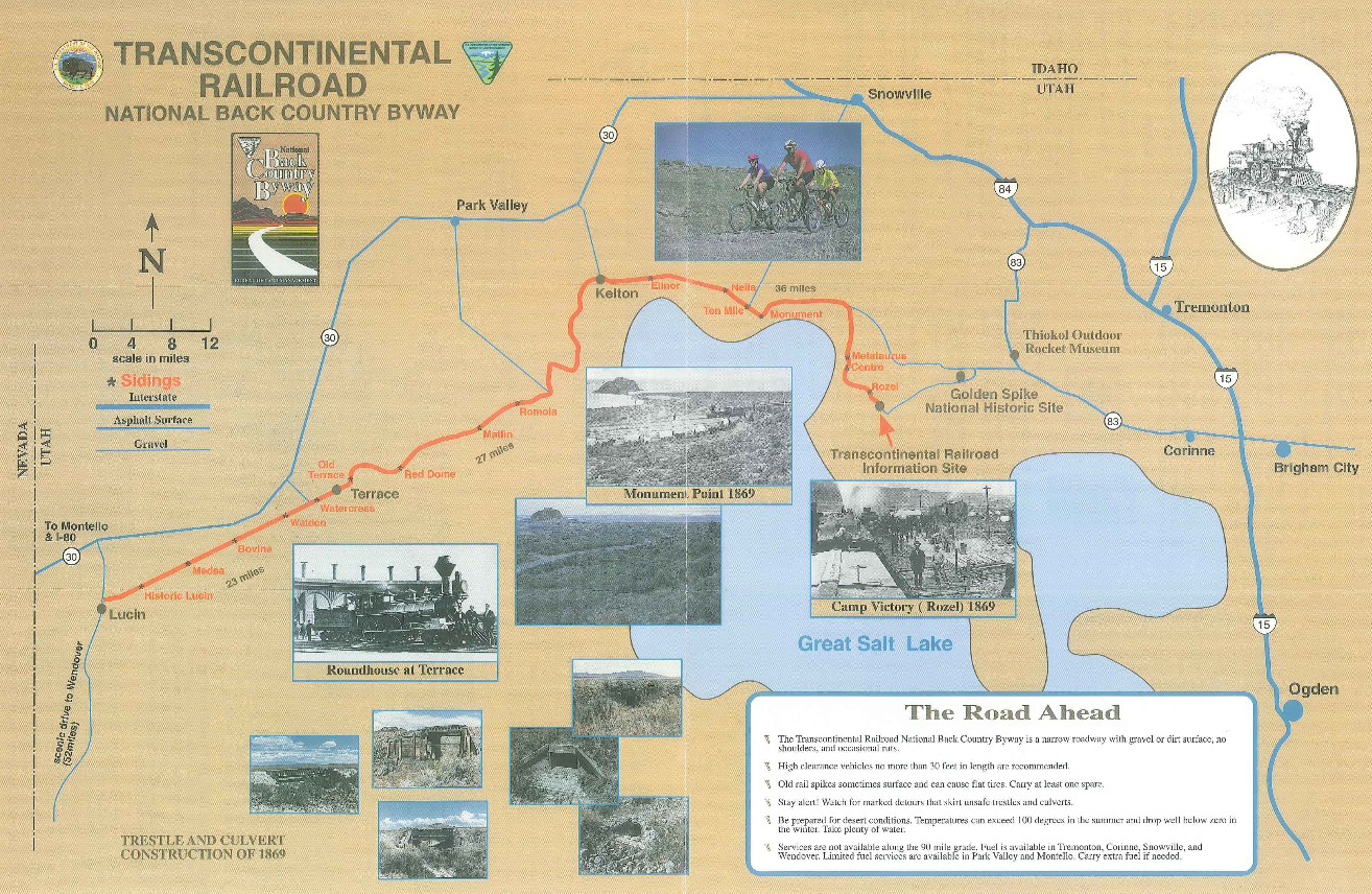
We took a right off Highway 30 at Kelton Road, driving south straight for the Great Salt Lake. When we finally reached the abandoned Kelton Townsite it wasn't altogether clear we were in the right place. Even my map wasn't clear about it. Then we noticed a tiny brown plastic sign on the road that indicated that if we headed east we'd be on a National Scenic Byway. We took a chance and eventually found a couple signs that reassured us we were going the right direction.
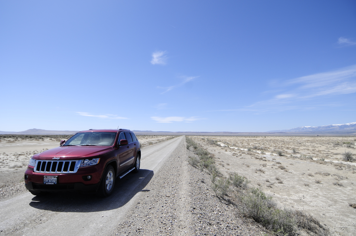
In fact, at certain points we were driving on the original transcontinental grade. The best map we had at this point was a BLM not-drawn-to-scale map that I found on the internet.
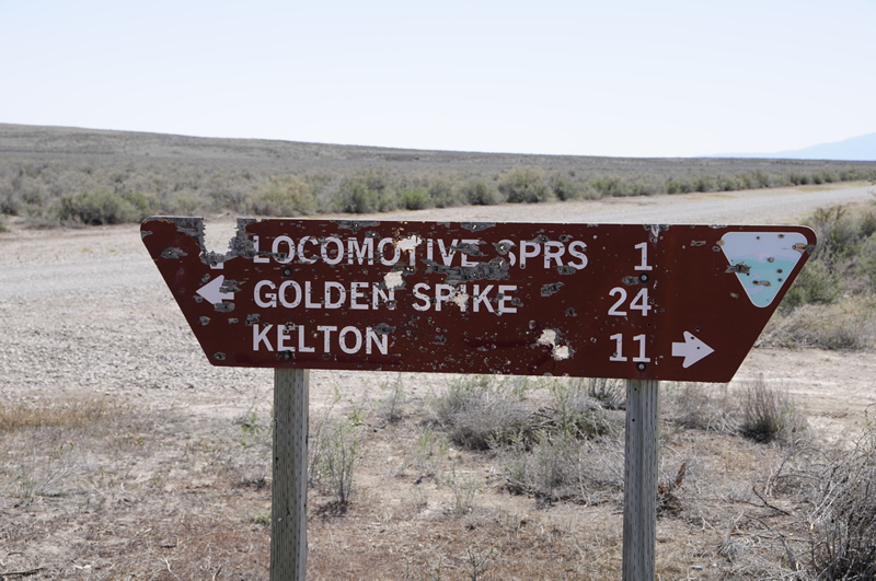
Driving the grade and imagining riding a train through the area in 1869 was fun, I was disappointed by the immense number of shotgun shell remnants on the ground and the destruction of signs (that would have been helpful to us). Here's an example of a sign that was readable (others weren't).
Eventually we made it to Golden Spike.
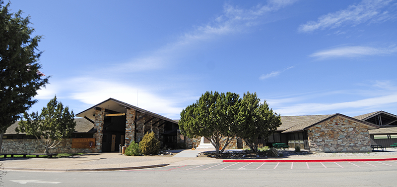
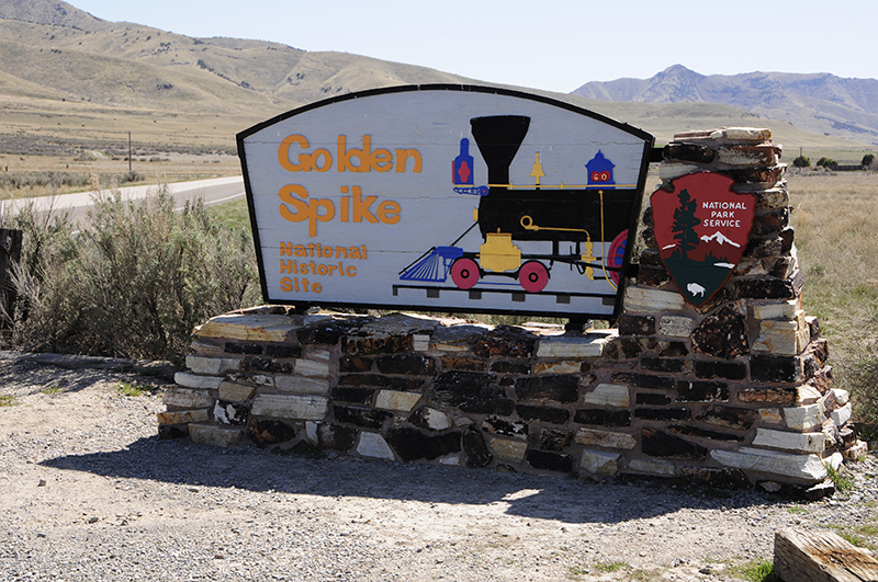
However, we were disappointed to discover the trains weren't sitting on the tracks. The park service sometimes will place two trains opposing each other just as they were when the golden spikes were 'hammered' into place at the commemoration of the joining of the Central Pacific with the Union Pacific. Without the trains it looked a bit empty.
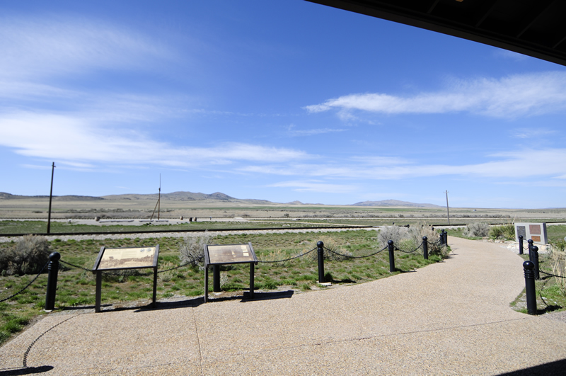
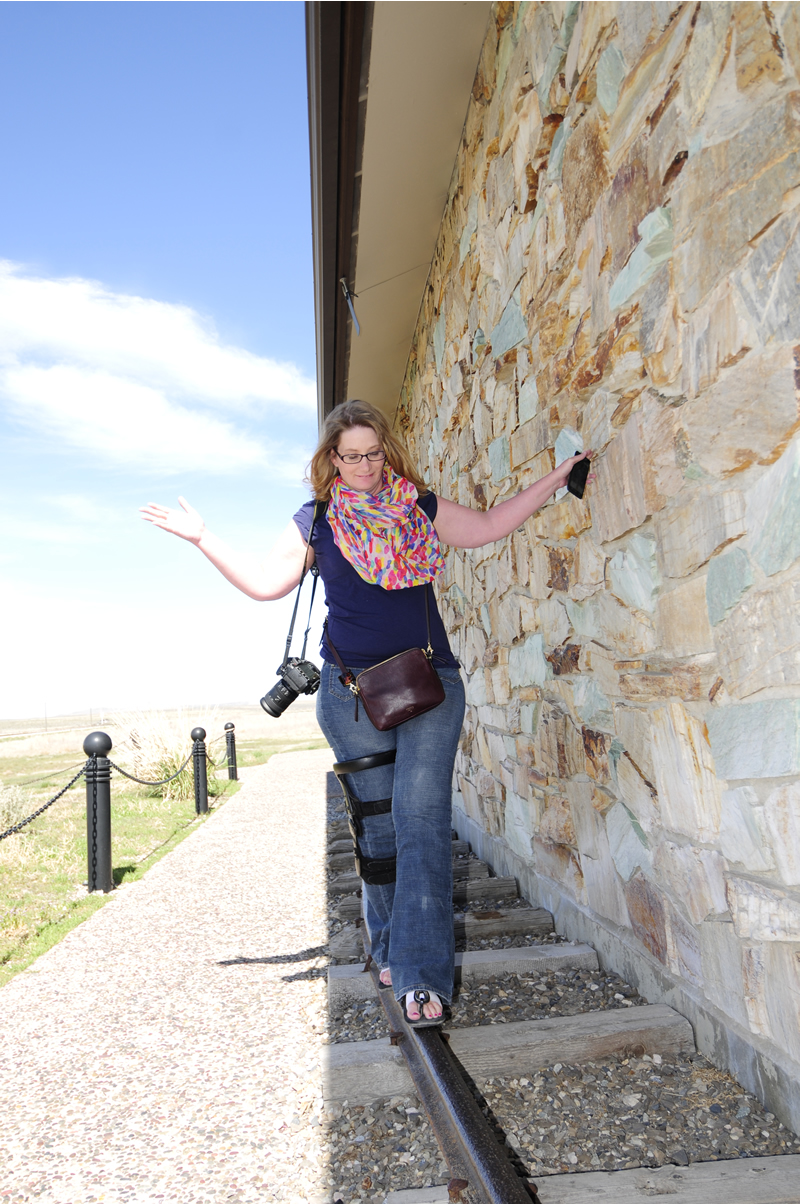
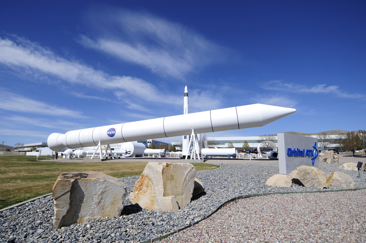
When we finished with the visitors center, we headed for Salt Lake, but not before a brief stop at an outdoor rocket museum. There's no cost to park and look at Orbital ATK rockets (formerly Thoikol I believe and post 2018 owned by Northrop Grumman).
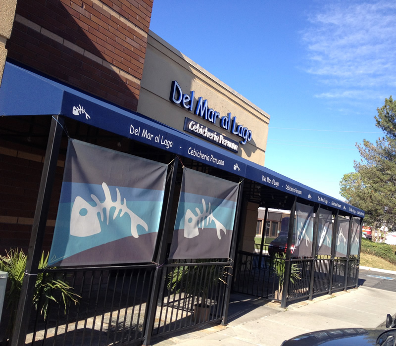
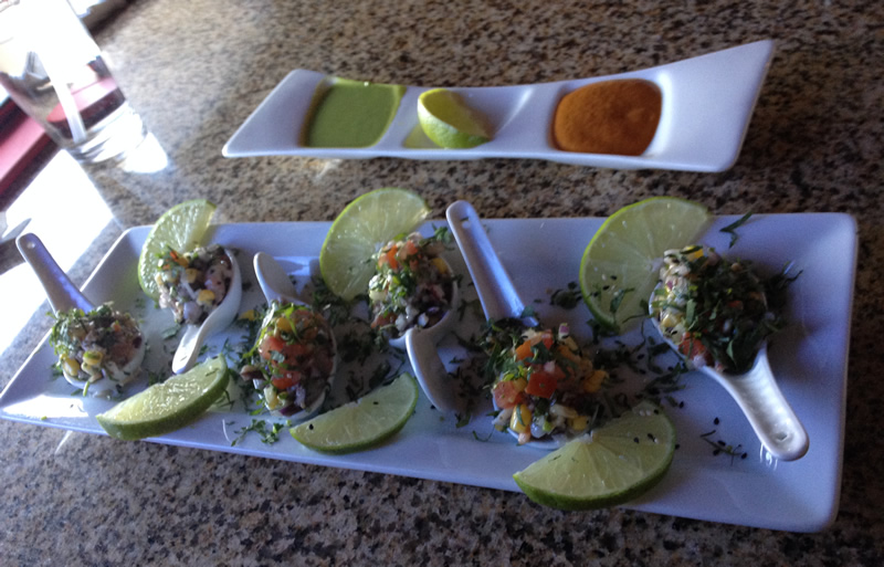
Our last stop of the day was dinner in Salt Lake. Ann had been wanting to try Peruvian food, so we consulted YELP for the best option. We settled on Del Mar al Lago, located at approx 300 West and 2200 South. The food was fantastic! They specialize in seafood and everything was fresh and full of flavor (see menu here). We tried the Chorito Rellenos for an appetizer. It was finally diced seafood with onions, cilantro and other good stuff. Served on small spoons (see bottom pic) it was great.
We also tried the Cebiche Mixto and the grilled fish in a cheese sauce. The cheese sauce was unexpectedly fantastic (as was the grilled fish -- an entire side of fish), while the Cebiche Mixto was fresh and full of different seafood. We'll be coming back to this place on our next visit.
Tomorrow we will have breakfast with Karson and then begin our trek south. We don't know have a specific destination. We'll be heading through Moab and may try to visit Mesa Verde National Park, weather permitting.
<– Day 1 - Sun. Apr. 12th: On the Road Again, Finally | TRIP OVERVIEW | Day 3 - Tues. Apr. 14th: Winds and more Winds –>


18 Comments
Leave a Reply